Aim

The Disaster and Climate Risk Information Platform (DRIP), a specialized software application, aims to strengthen the institutional capacity of the Government of Bangladesh for assessing, understanding and communicating disaster and climate related risks, with the goal of integrating disaster risk information into development planning & budgeting, policies and programs

Objective of DRIP

Integration of Information

Integrate disaster and climate risk information into development projects, plans, programs and policies to ensure risk-informed public investment

Common Platform

Facilitate access to risk information from a common platform

Assisting the Officials

Assist the Planning Officials in different ministries with available risk information in different sectors

Future Scenario of Temperature and Precipitation

DRIP represents the latest climate scenario of RCPS as 4.5 and 8.5. Even though Bangladesh is considered as one of the most vulnerable countries in the world, still there is no reliable source of future climate scenario, spatially distributed in a fine resolution, without which any climate change impact study is impossible. This platform thus can be considered as a significant breakthrough in risk informed development planning considering future climate change scenario.

Learn More

Resources

64

Districts

492

Upazilas

13

Hazard Layers

13

Exposure Layers

9

Vulnerability Layers

Exposure and Vulnerability Map

Explore the exposure and vulnerability components in maps.

Learn More

Reporting Tool

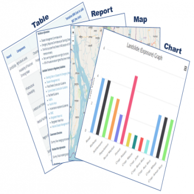
The project development and appraisal tool of the DRIP will enable project proponent or planning officials to view in a pop-up window and generate report.

Learn More

Hazard wise Risk Map

DRIP has the facility to display GIS based Risk maps of different natural hazards

Learn More

Our Partners

Please wait ... . .